Oswego Snow Storm - February, 2007
Home
All photographs Copyright © 2007 Jon R. Vermilye
To see a larger image, click on the photo
Other Pages:
Animals & Insects
Birds
Chipmunks
Flowers
General Images
Landscapes / Scenic
Lighthouses
New England & Nantucket
Oswego
State & National Parks
Theatrical Images
Waterfalls
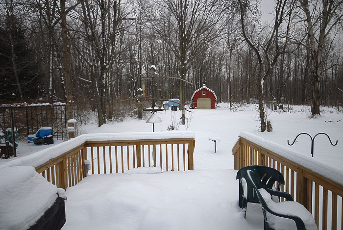
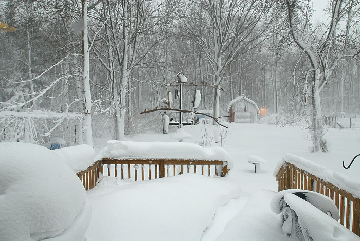
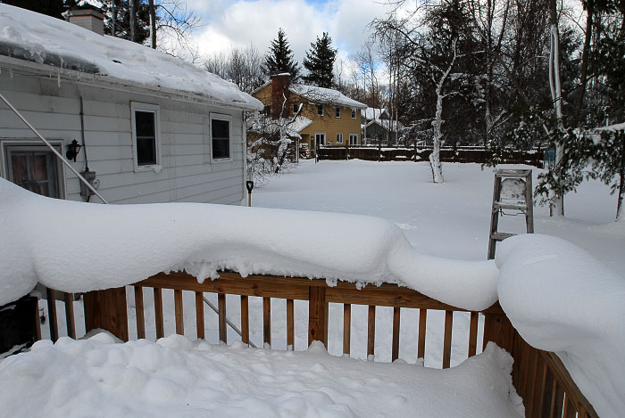
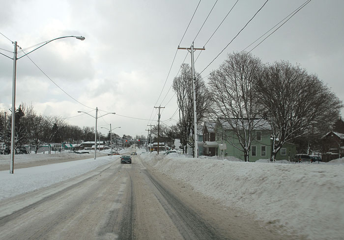
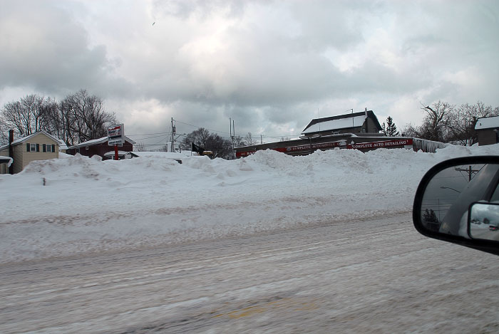
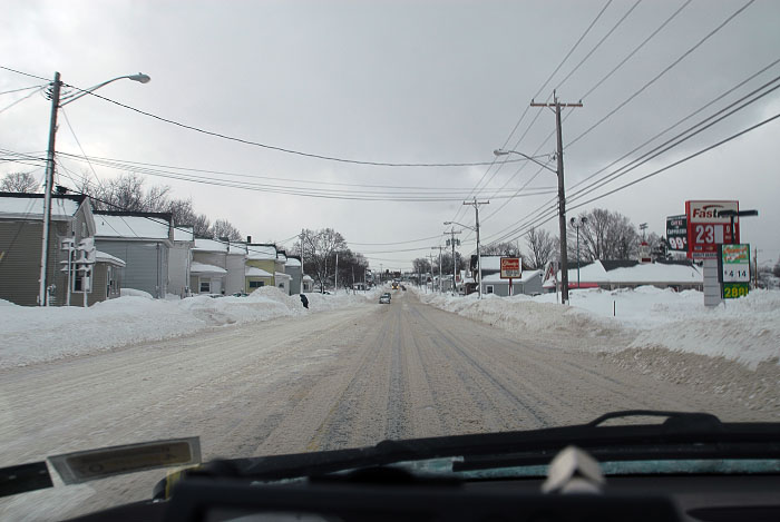
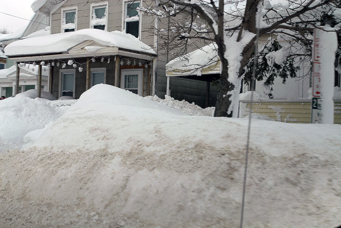
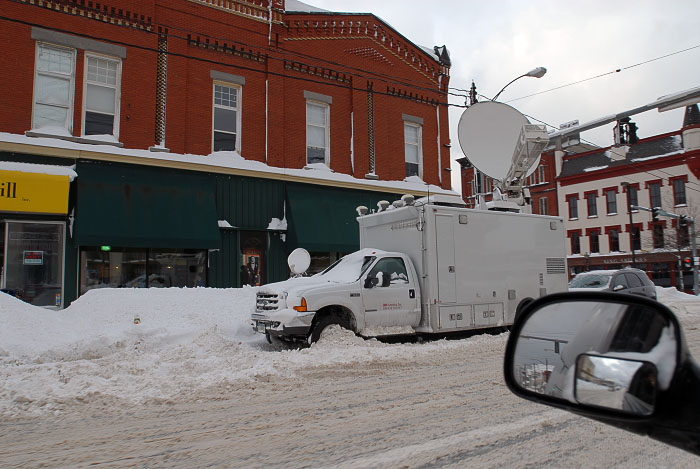
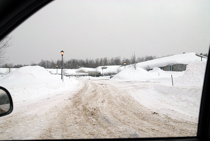
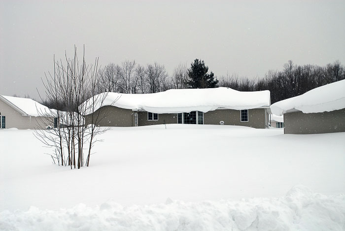
Well, Oswego has made the national news - first the Weather Channel, then, as the snowfall reached 6' - CNN arrived with a satellite truck. It started on Super Bowl Sunday and by 1:00PM Thursday, the 8th some snow totals for Oswego County towns - Oswego City - 5' - 11", Parish 7' - 4", North Redfield 9' - 4"! By the way, we still expect to get at least two more days of lake effect snow - could be another 2 - 4 feet for parts of the county.
Update - As of 2/9/07 at 12:30 totals for Parish is 8' - 0' and North Redfield is at 10' - 2". We are still under a Lake Effect Snow Warning until Monday morning!
Update #2 - Unofficial total for North Redfield as of 12:00 Sunday, 2/11/07 is 144" or 12'!
Update #3 - Well, Redfield may or may not have the new record for a 7 day snowfall. The current New York state record of 10 feet, 7 inches of snow that fell in nearby Montague over seven days ending Jan. 1, 2002. The problem is lake effect snow is difficult to measure since it is very light & compresses rapidly. If measurements are made once a day, it will be less than if measured every 6 hours. The sort of official, but really unofficial total for Redfield is 11' - 4" which would break the record. The National Weather Service is currently working to determine if it is a new record. In any case, there is lots of snow & a Northeaster is predicted to dump another 12" - 18" on Tuesday & Wednesday.
|
|
|
|
| February 5th | February 6th | February 8th | All the rest - February 8th |
|
|
|
|
|
|
|
|
|
|
|
|
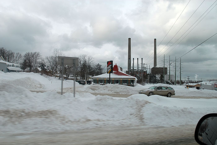
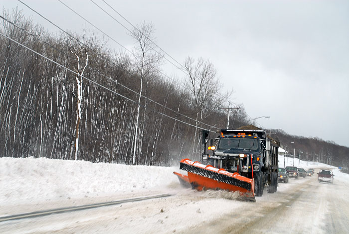
Some photos of the clean up process taken on February 20th:
 |
 |
 |
 |
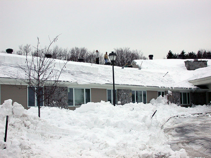
Shoveling Roofs
|
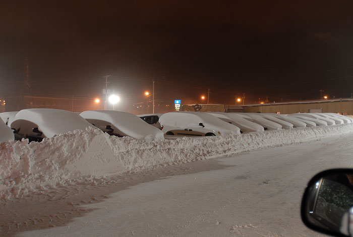
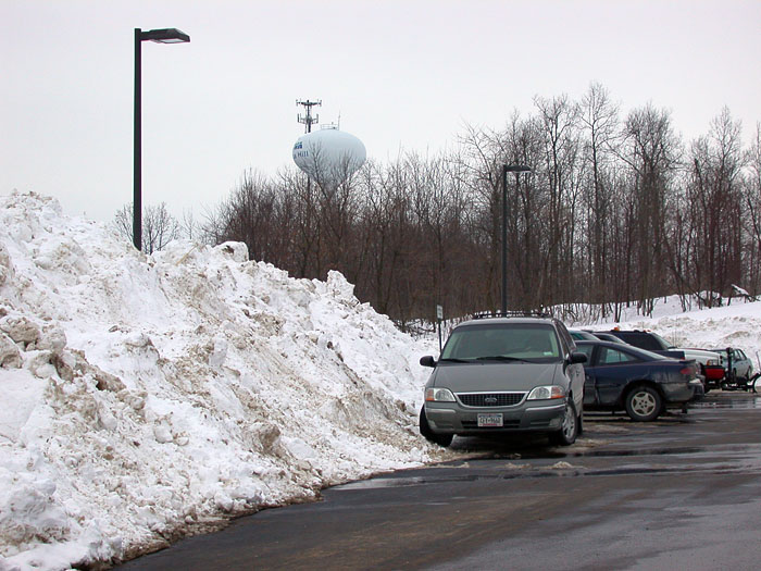
A Typical Parking Lot
|
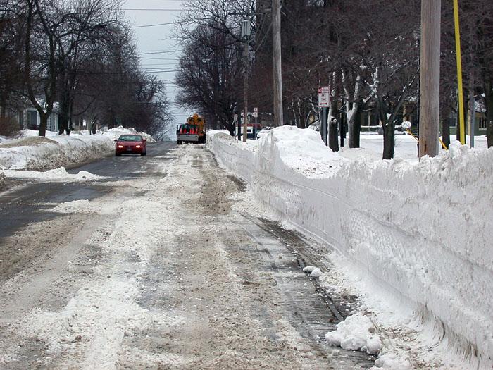
Cutting to the Full Road Width
|
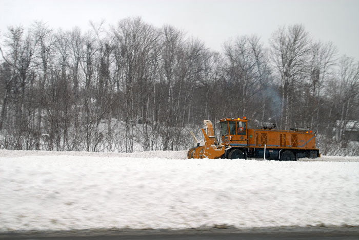
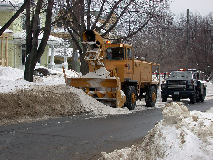
A Serious Snow Blower
|