
2011 Trip across the US
2012 Trip across the US
Other Trips
I drove out to the point at Dead Horse Point Sate Park last night hoping there would be an interesting sunset. There wasn't, but I took a few photos anyway. Very windy, enough that it was hard to hold the camera still on a tripod. It was windy all night, letting up around 4:00AM.
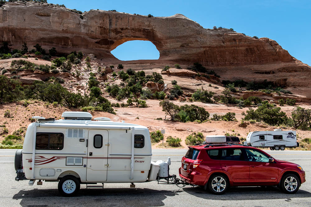
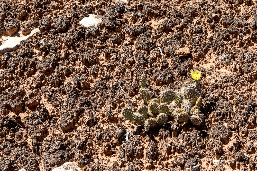
A relaxing drive down US 191 to Blanding, Utah. I stopped for a photo of the trailer & RAV4 at Wilson Arch, then continued to the Blue Mountain RV Park a few miles south of town. After setting up the trailer I decided to take the hike to Fallen Roof Ruin. I had no problem finding Cigarette Springs Road or the trail to Road Canyon, but never found the ruin. I probably didn't go far enough down the canyon. In any case, I may give it a try if I can find a campsite at Natural Bridges. I did take a few photos along the way, including one of a yellow cactus flower that shows off a good example of "Biological Soil Crust" or Cryptobiotic Soil , the stuff you should avoid stepping on.
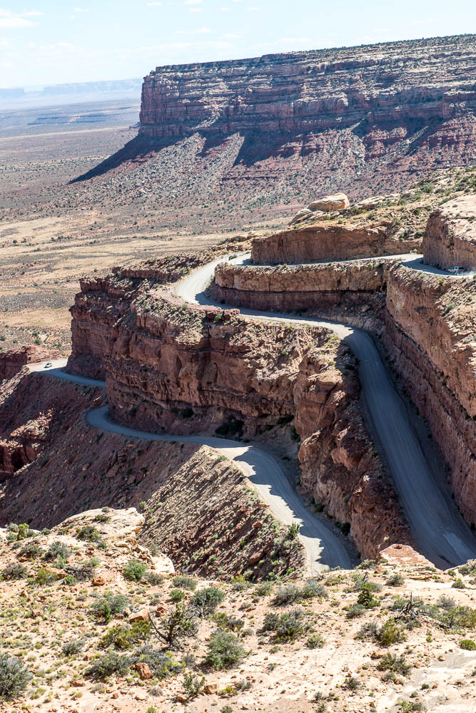
After leaving Cigarette Springs Road, I drove to Muley Point & the Moki Dugway for a couple of photos. For anyone who doesn't already know about the Moki Dugway, it is a section of UT 261 that goes down a cliff. About 4 miles of 10% grade, washboarded, gravel road with many switchbacks. While there are many that have driven RVs up & down, even though I'm sure the RAV4 would make the grade either way, the washboarding is bad enough that I won't haul my trailer over it. There is a great video on YouTube of a truck going down - it is what got me to the Dugway the first time.
At the top (North) end of the Dugway, there is a dirt road to the left (coming up the Dugway) that leads to Muley Point (called appropriately, Muley Point Road). If you are anywhere near it, take the road to the end. There is a stop along the way that looks like the end, but the road continues to the right. At the end there is an almost 360° view centered on Monument Valley. If the internet connection improves later, I'll add a panorama made at Muley Point. A large, 10,000 pixel wide, 2.6MB version.
 |
 |
 |
 |
Dead Horse Point |
Dead Horse Point
|
Dead Horse Point
|
Dead Horse Point
|
 |
 |
 |
 |
Wilson Arch Along US 191 |
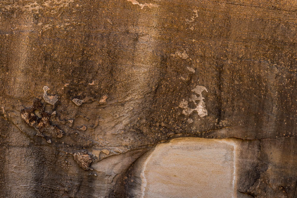
Petroglyphs in Road Canyon |
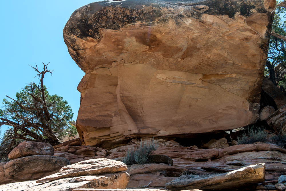
Not Fallen Roof Ruin! |
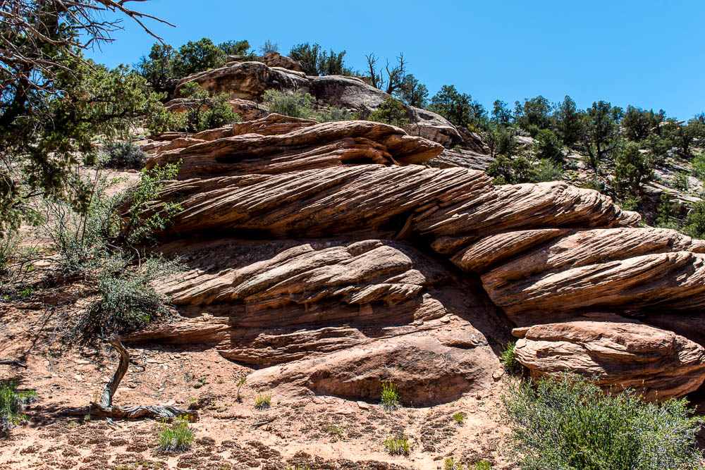
Interesting Rocks |
 |
 |
 |
 |
Yellow Cactus & Cryptobiotic Soil |
A Tree at Muley Point |
Muley Point View |
Some of the Moki Dugway |
 |
 |
||
The View From the Top of the Moki Dugway |
Site 33, Blue Mountain RV Park, Blanding, UT |
I chose site 33 even though it was a long walk to the showers (remember, I've been without water for the last 3 days) because it was one of the few that has a picnic table, which I use to cook on. By the time I got back to Blanding from the afternoon drive, it was too late to cook so I ate at the Homestead Steak House. A bit greasy, but OK, and filling, seafood dinner. So, no need for the picnic table, but even with the long walk the shower felt great!
Until Tomorrow -
This page is maintained by: vermilye@oswego.edu
Last Update:
June 19, 2014