Fishing in the Salmon River
The Salmon River East of Pulaski, NY
Barn & Field along Oswego County Rt 2
Salmon River Falls, October 6th, 2006
Back to Oswego Page
Jon Vermilye's Photo Page
Trips:
Other Pages:
Animals & Insects
Birds
Chipmunks
Flowers
Landscapes / Scenic
Lighthouses
New England & Nantucket
Oswego
Other
Images
State & National Parks
Theatrical Images
Waterfalls
Salmon River & Salmon River Falls, 2008
Salmon Fishing in Pulaski, NY 2010
Salmon River & Salmon River Falls, 2012
Salmon River Falls, 2014
Fishing on the Oswego River, Fall 2007
Fishing on the Oswego River, Fall 2008
Fishing on the Oswego River, Fall 2009
Salmon Fishing on the Oswego River - Fall 2011
Open House at the Salmon River Fish hatechery, 2010
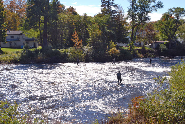
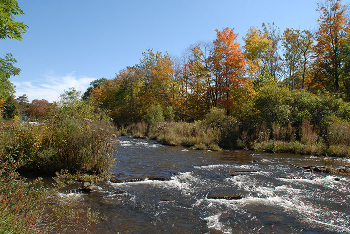
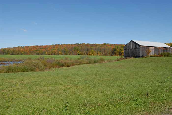
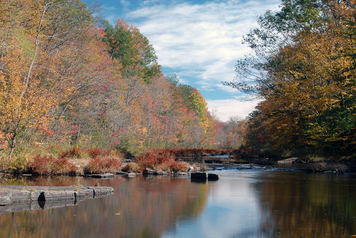
It is a little early for full color in northern Oswego County, but I decided to make a trip to Salmon River Falls anyway. Along the way I stopped to check out the fisherman and the Salmon River just East of Pulaski, NY. I also stopped to take a photograph of a barn & field starting to show some color. For those interested in fishing, I have a link to Fishing on the Oswego River.
|
|
|
Fishing in the Salmon River |
The Salmon River East of Pulaski, NY |
Barn & Field along Oswego County Rt 2 |
After that it was on to the falls. For those needing directions, take County Rt 2 East from Pulaski, NY to Orwell, NY, then County Rt 22 South, make a sharp left on Falls Road. The parking area will be at the top of the hill on your right. It is a short, level walk to a couple of viewing areas to see the falls, and a short, steep path down to the flats above the falls. Information about the trails as well as the history of the Salmon River Falls is available as a PDF at Salmon River Falls Unique Area Unit Management Plan.
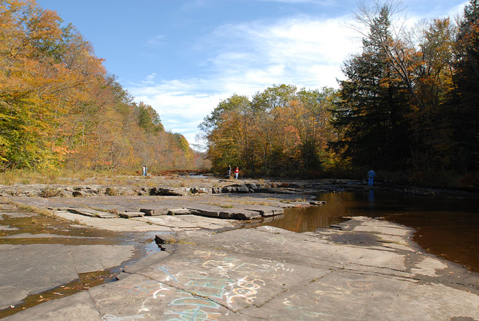
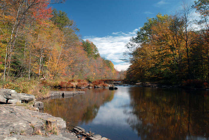
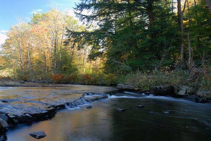
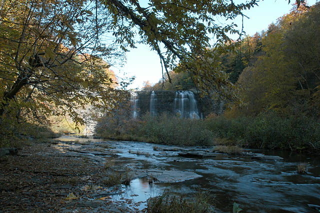
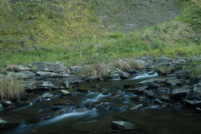
A couple of people were checking out the stream bed above the falls. I used a tripod to take some long exposures of the pond & river. As you can see, there is some color to the trees, but it will be better over the next couple of weeks:
 |
 |
 |
 |
The Flats Above the Falls |
The Salmon River Above the Falls |
The Salmon River Above the Falls |
A Riffle Above the Falls |
After that it was time to climb down the Gorge Trail. Although a great improvement over what was available a few years ago, this is still a steep trail that, of course, is more difficult on the return (uphill) trip. It drops 100' in its 600' length with an average grade of 30%.There are many places to stop & catch your breath & view the falls. I didn't take any full photos of the falls since I already had a number of them from a visit during the Fall a couple of years ago:
 |
 |
 |
Salmon River Falls Fall '04 |
Salmon River Falls Fall '04 |
Salmon River Falls Fall '04 |
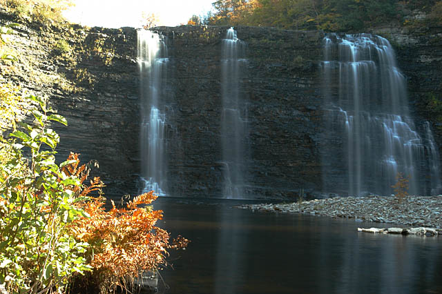
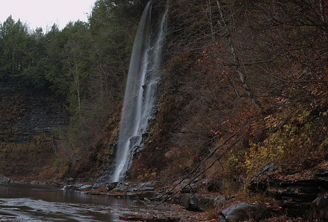
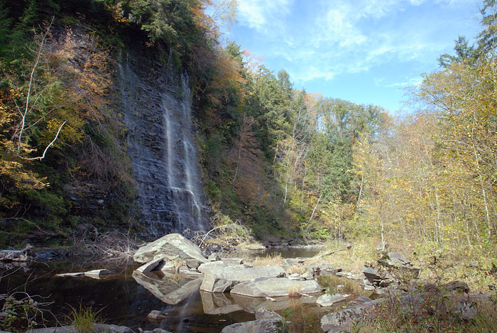
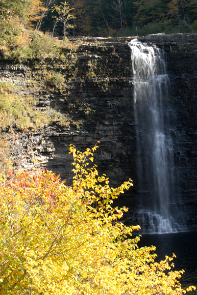
The river below the falls is worth exploring. A short distance below the main falls there are a couple of smaller waterfalls on the Gorge Trail side of the river that, like the main falls, vary depending on how wet or dry the season. Today, the smallest of them is just a wet rock face, but the tallest looked beautiful in the full sun. I included a photo of each taken in the Fall of 2004, just after a storm that provided a stronger flow. Today the water was low enough that I managed to cross the river for the photo below.
Take care anywhere in the river gorge - the river flows from the upstream Salmon Reservoir, a hydroelectric power facility. Much of the river flow bypasses the falls through a 2 mile pipeline that runs through the power facility. When shut down, the river level can rise rapidly. It is quite possible to get caught on the wrong side of the river with no way back. Although this most often happens during Spring runoff and after large storms, it is wise to keep an eye on the water level. A photograph of the Falls with a full head of water is on the cover of the PDF document linked above.
 |
 |
 |
Tall Falls, 2004 |
Tall Falls Today |
Small Falls, 2004 |
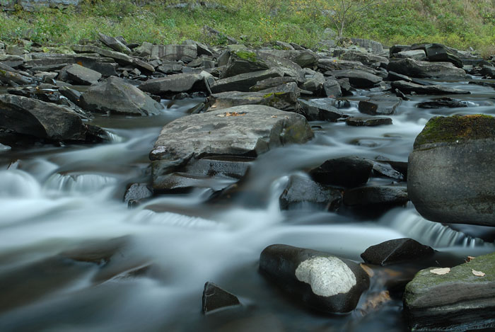
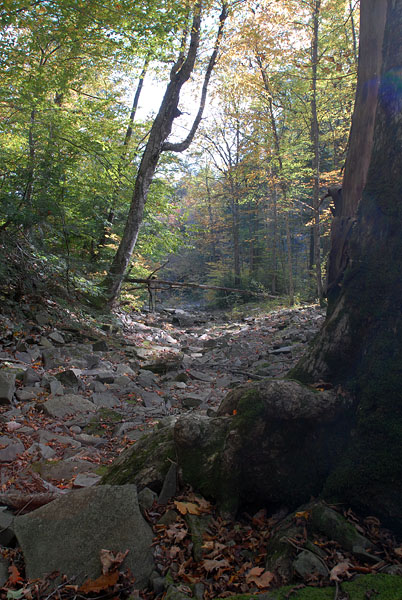
Since I haven't been on the south side of the river before, I stopped a couple of times along the bank to take some photos. The dry river bed below shows how much more water flows during the Spring thaw. On the way back up the Gorge Trail I stopped to take a photo of one of the sections of the main falls:
 |
 |
 |
 |
A Long Exposure of Some Rapids Below the Falls |
A Long Exposure of Some Rapids Below the Falls |
A Dry Section of the Stream Bed |
The Main Falls on the Way Up |
After leaving Salmon River Falls I tried to find the only other official Oswego County waterfall - Mad River Falls. I did find Otis Mills road, which takes you close to the falls, but it dead ended at a gate with no river or falls near by. Since everything was posted, I decided to call it a day.
This page is maintained by: vermilye@oswego.edu
Last Update:
October 9, 2014